Sensors\Ground Based Lidar\Create
Menu
This tool is accessible via the 'Edit > Sensors > TLS/GBL > Create' menu.
Description
Creates a Terrestrial Laser Scanner (TLS - also called a Ground Based Lidar = GBL) sensor entity attached to the selected cloud.
The user must specify the main intrinsic and extrinsic parameters of the sensor (absolute position and orientation, angular steps, etc.).
Note: since version 2.5.6, angles are now expressed in degrees and aircraft denominations (yaw/pitch) are used so as to make things clearer.
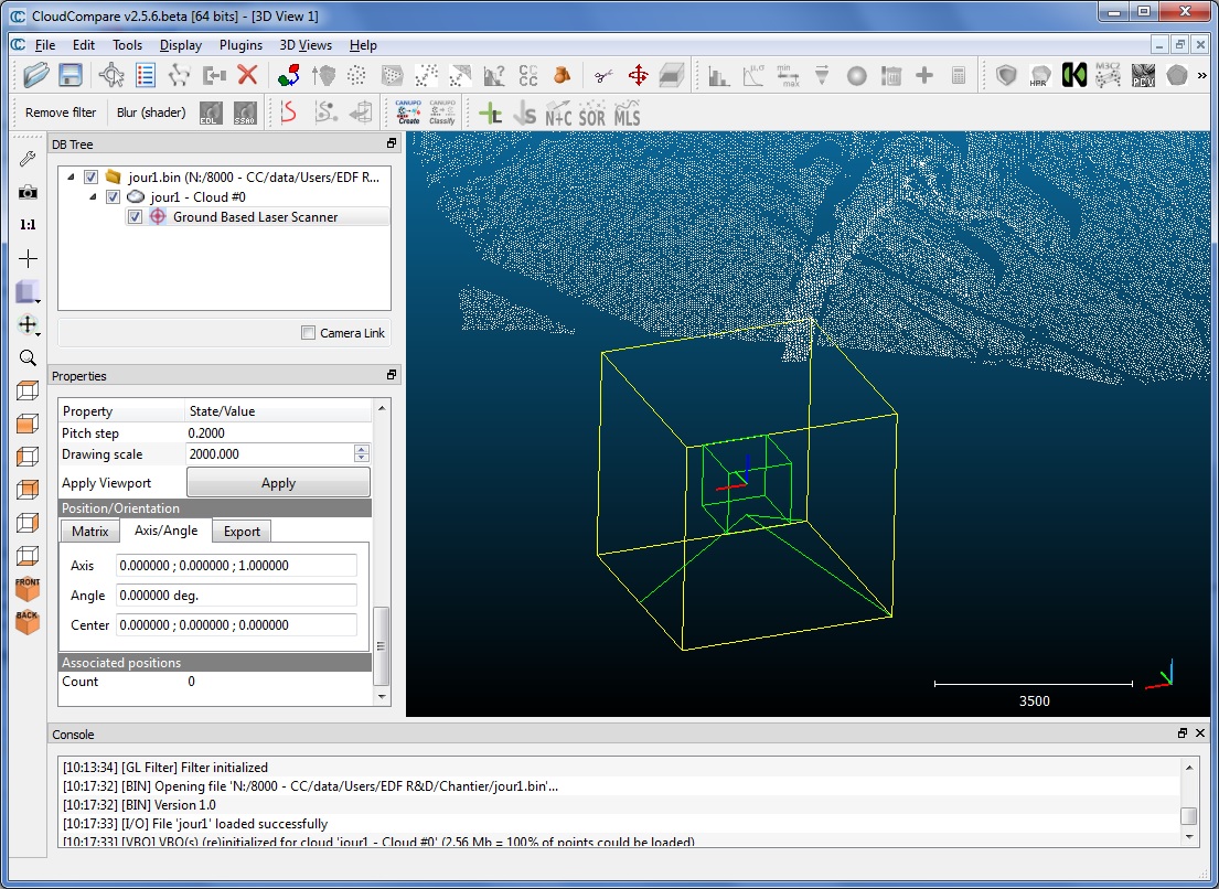
Clicking on the 'OK' button will create a new sensor object. A depth map is automatically generated and displayed by CloudCompare so as to let the user visually check the parameters.
By default the sensor object is added as a child of the selected cloud in the DB tree. It is also visible in the 3D view (warning: you may have to change its 'drawing scale' - see the sensor object properties - to view it correctly).


